
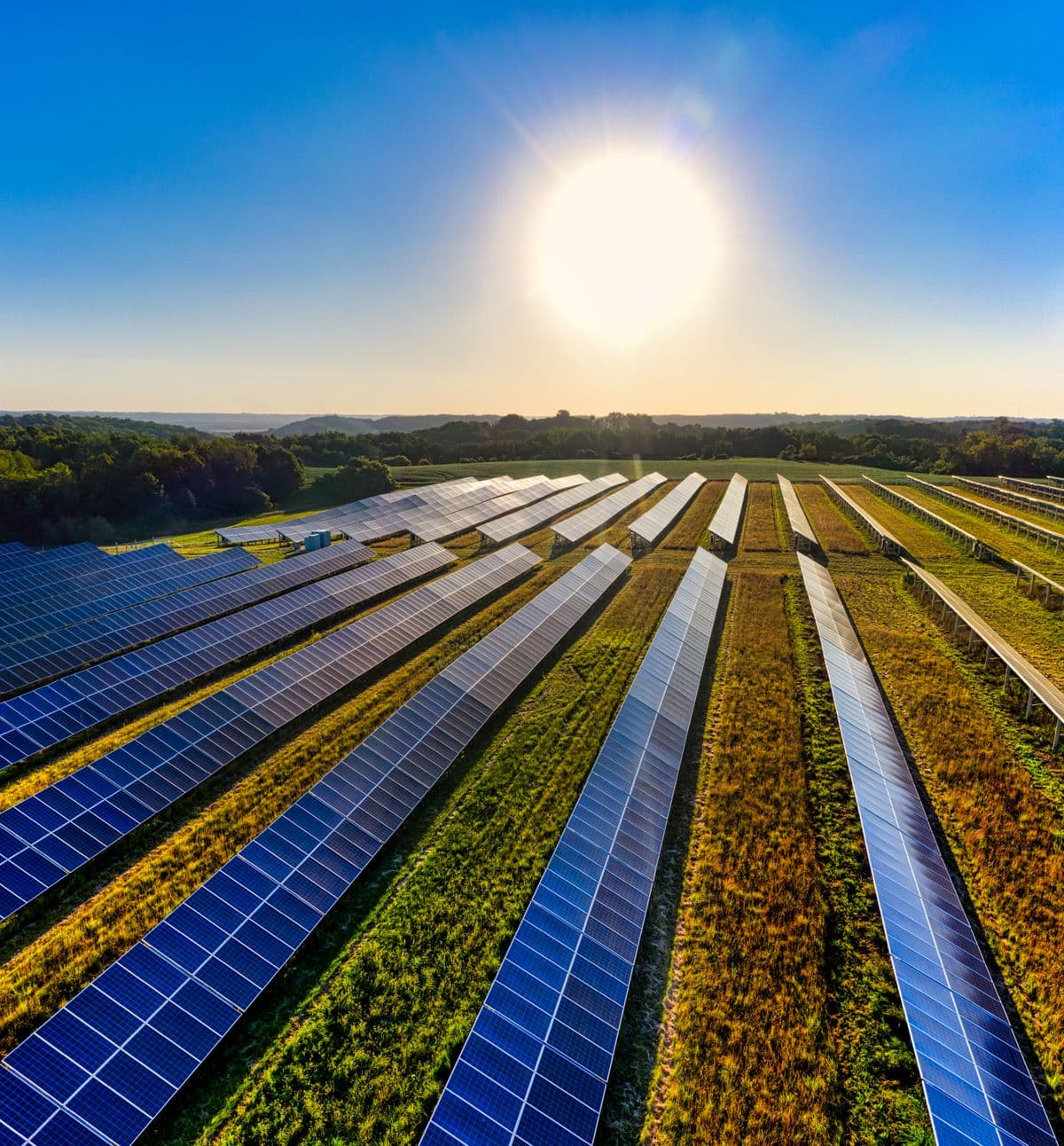
Energy & Utilities
Transmission corridors, solar assets, utility infrastructure, and recurring inspection programs.

Industries
DOM supports organizations that need a clearer view of sites, infrastructure, property, and operations—without adding unnecessary risk or complexity.
Where DOM Fits
We scope the mission around the decision you need to make, the asset you need to understand, and the deliverable your team can actually use.
Transmission corridors, solar assets, utility infrastructure, and recurring inspection programs.
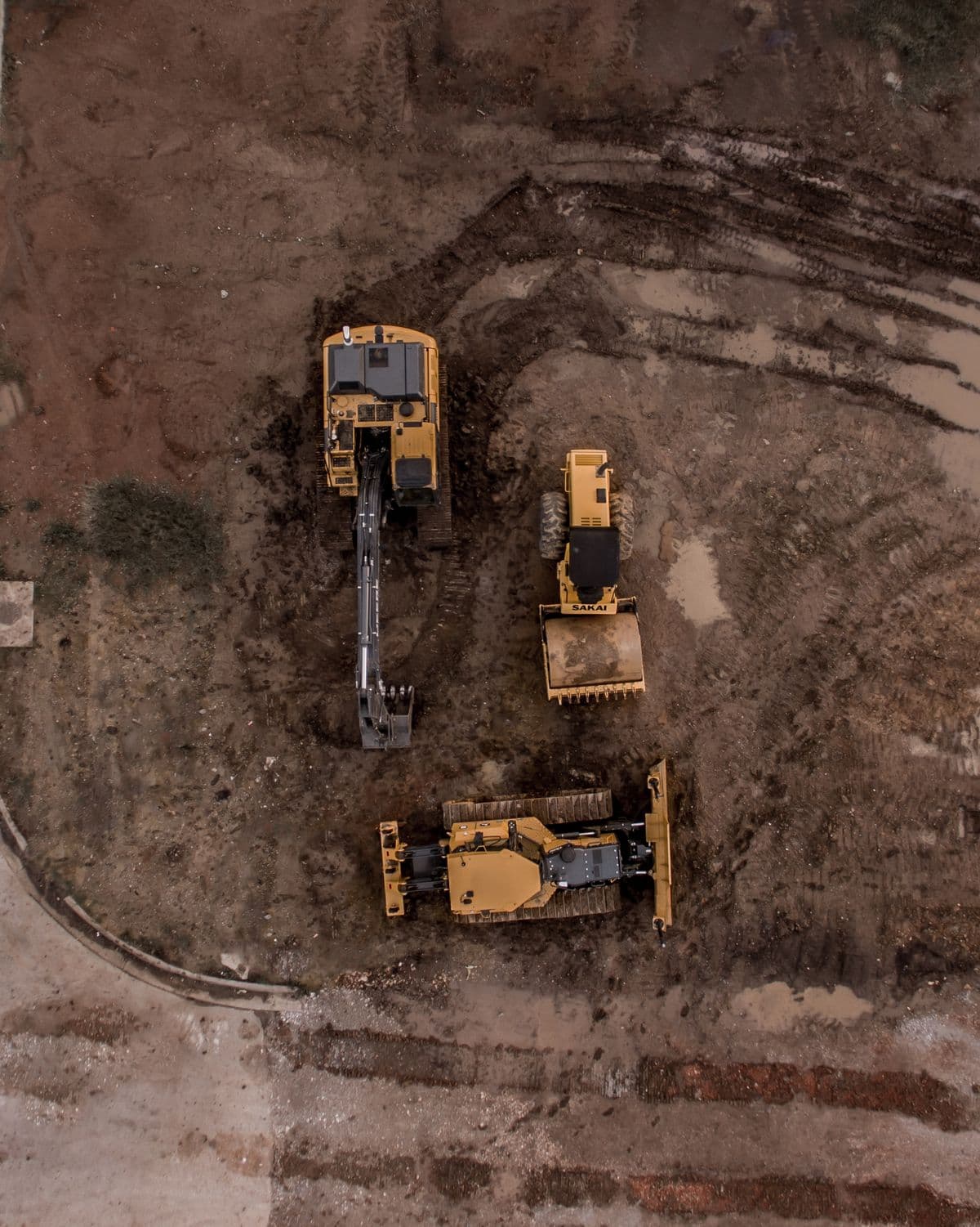
Progress documentation, site mapping, volumetrics, stakeholder reporting, and property intelligence.
Aerial crop documentation, multispectral workflows, field monitoring, and large-acreage capture.
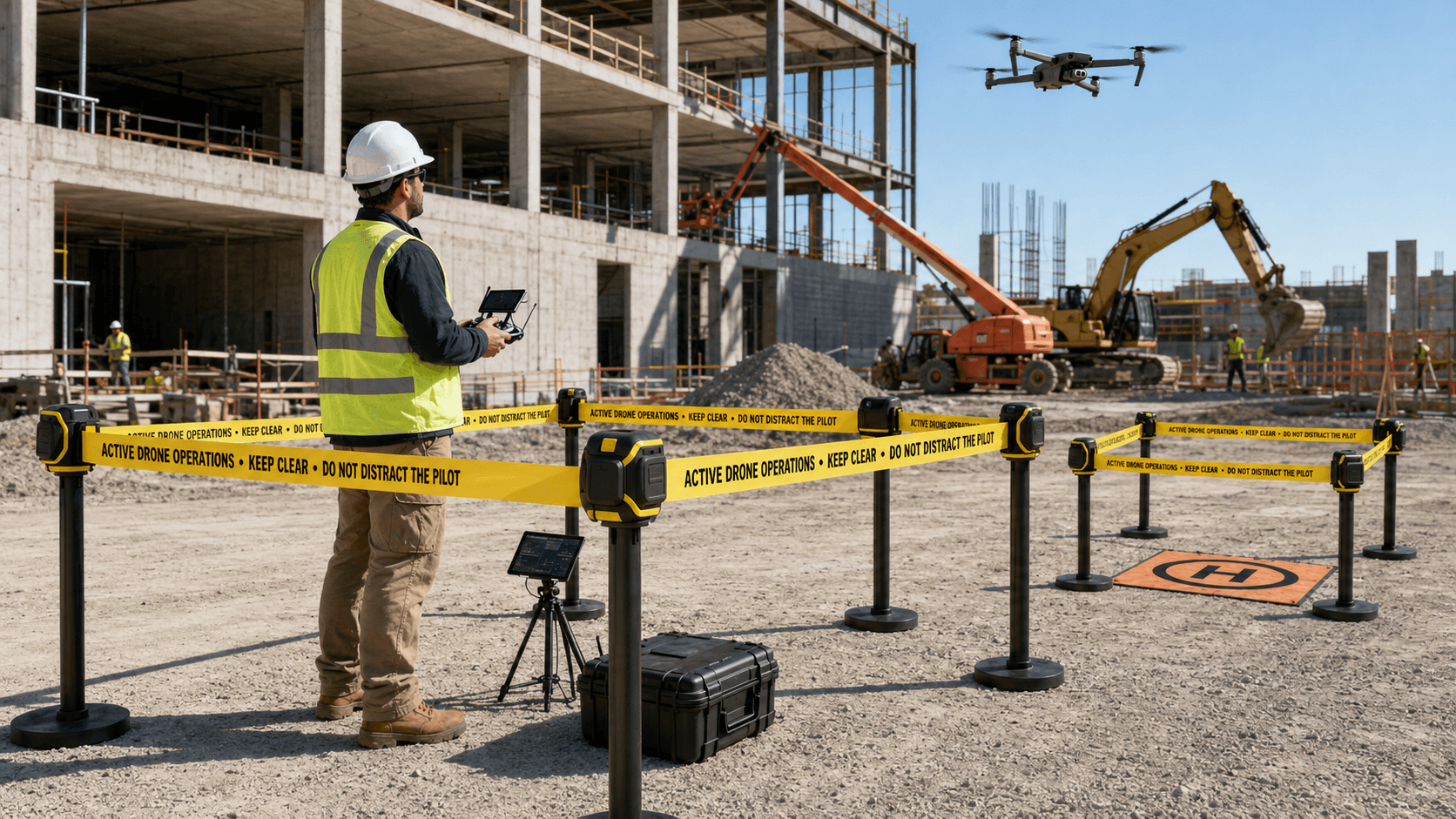
Rapid aerial situational awareness, incident documentation, and post-event assessment support.
High-resolution documentation and mapping for bridges, towers, rooftops, facilities, and engineered assets.
Documented commercial operations for municipalities, agencies, public assets, and compliance-driven programs.
Large-site visibility, yard documentation, facility overviews, and repeatable operational monitoring.
Property condition documentation and aerial evidence for underwriting, claims, and risk-review workflows.
CAPTURE
See the site clearly
MEASURE
Create usable site data
INSPECT
Document asset condition
REPORT
Give teams decision-ready outputs
Custom Missions
If aerial data can reduce risk, improve visibility, document change, or create a better record of an asset, DOM can scope the operation around that need.