
DOM Service
Mapping & Surveying Support
Drone mapping and photogrammetry for measurable site intelligence.
Scope This MissionWhat It Does
Turn the flight into something useful.
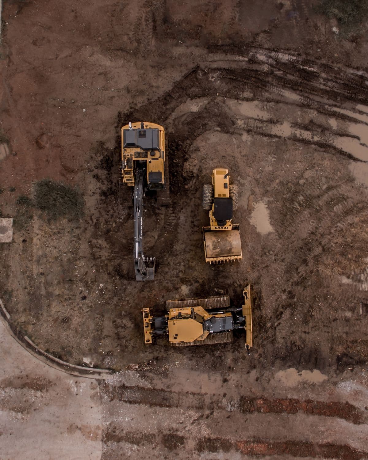
DOM uses planned overlapping aerial imagery and photogrammetry workflows to create maps, models, point clouds, and measurement-ready site documentation. Capture settings and positioning workflows are selected according to the accuracy and intended use the project requires.
Common Applications
- Construction
- Engineering
- Land & Site Development
- Infrastructure
Client Outcomes
What this helps you do
- —Create a current aerial map of a site
- —Build measurable 2D and 3D site records
- —Support planning, documentation, quantity, and progress workflows
Deliverables
What you can receive
- —Orthomosaic maps
- —3D models and meshes
- —Point clouds
- —Volumetric measurements
- —GIS-ready outputs
Mission Ready
Have a site, asset, or project that needs this?
Tell DOM the location, objective, and output you need. We will scope the mission around the actual requirement.